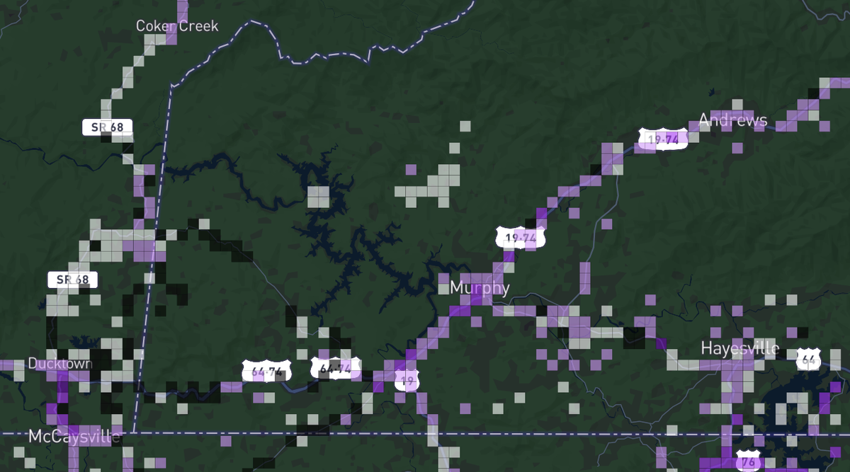
Use the Coverage Map application, available for either Apple or Android, to locate information about access to high speed cellular. This crowdsourced map Is a tool for users to view and compare cellular coverage data for different carriers.
For example, consumers can toggle coverage footprints between carriers to see how capabilities compare in a specific area. In addition to real time information provided by users, the system supports the FCC Broadband Collection. This signal strength resource covers the continental United States, Alaska and Hawaii.
Speed tests are available, with download, upload and latency included. Data sets can be aggregated or broken out by service provider and signal type. Performance varies, so quality of service can be easily evaluated over the course of the day,